EXPLORE BY LOCATION

Licensable drone scenes in Apex, North Carolina

Explore available drone captures from Apex, North Carolina. Compare source photo counts, capture dates and retained spatial products, then request a license for the scenes that fit your project. Coordinate precision and file availability are shown per dataset.

1 scenes187 photos3.9 GB retained data

Try a sample scene

Evaluate one scene before licensing the larger collection. Samples have separate evaluation terms.

United States / North Carolina

Apex drone capture · AD-D5CE1337

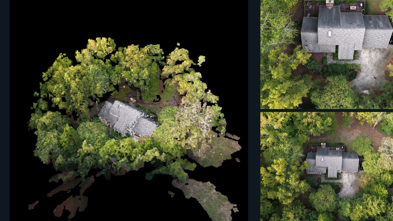
187 original drone photos from Apex, North Carolina, United States, paired with metadata, project bundles, camera data, 3d meshes, point clouds. Evaluate a sample and request a commercial license for AI training or spatial analysis.

3D model-focused

Photos Orthomosaics Point clouds 3D meshes
187 photos3.9 GB AerialAlign Selected-file sample

1 dataset

Scene-level inventories
United States / North Carolina

Apex drone capture · AD-D5CE1337

187 original drone photos from Apex, North Carolina, United States, paired with metadata, project bundles, camera data, 3d meshes, point clouds. Evaluate a sample and request a commercial license for AI training or spatial analysis.

3D model-focused

Photos Orthomosaics Point clouds 3D meshes
187 photos3.9 GB AerialAlign Selected-file sample

Have a specific dataset in mind?

Share your geography, formats, intended use and timeline.

Request data ↗