What makes the data spatial?
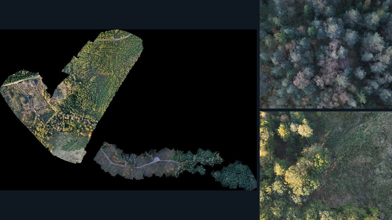
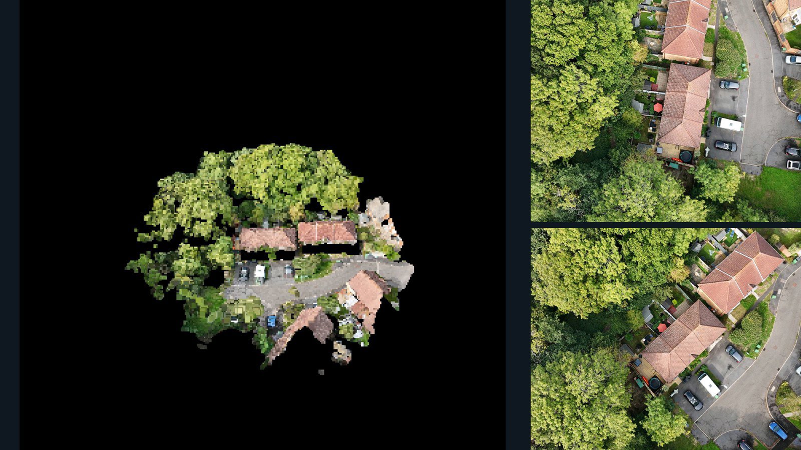
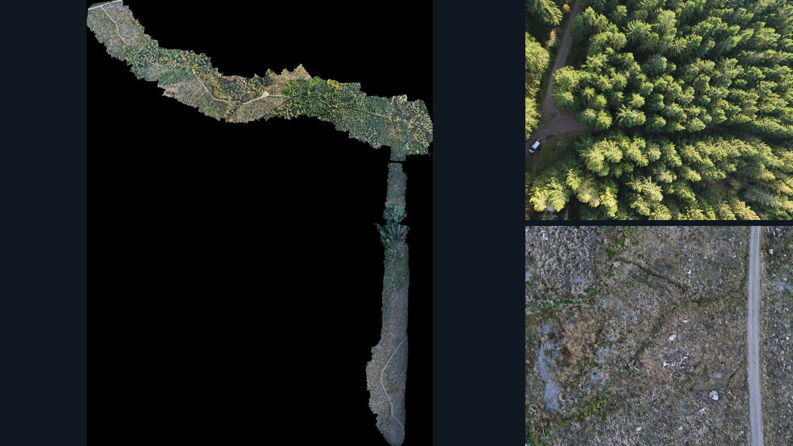
A scene ties a real place and capture to the observations and products retained from it. Source photographs show appearance from different viewpoints. Camera files may help describe how those views relate. Point clouds, meshes and elevation products describe aspects of the reconstructed space. The value is in their relationship, not simply the number of files.
SpatialDataset currently presents aerially captured outdoor scenes from the AerialDataset catalog. A broad research focus does not change that coverage: this is not a catalog of indoor robot demonstrations, synchronized driving sequences or instrumented interaction trials. Check viewpoint, environment and scale against your target task.
Match representations to your task
For image-to-geometry work, start with scenes retaining source images and a point cloud or mesh. For pose-conditioned experiments, additionally inspect camera-data files for the parameters your pipeline requires. For top-down spatial analysis, orthomosaics and elevation products may be more relevant than a textured mesh.
The catalog browser can require combinations of file types from the same scene version. These filters test retained inventory only. They do not certify registration, camera calibration, reconstruction quality or model compatibility. A bundle can contain additional material; inspect its manifest rather than assuming it satisfies a missing individual-file category.
Evaluate one scene end to end
Before licensing a collection, open an available evaluation sample in your own tools. Check image dimensions, image-to-camera references, axis conventions, coordinate units and the region actually reconstructed. Compare geometry with the source views to understand missing surfaces and artifacts. Sample terms permit internal inspection; training or fine-tuning requires the appropriate written license.
Keep the scene identifier and version with any local manifest. Decide how to separate places and captures across training and evaluation before creating image-level splits. Multiple views of the same scene are not independent locations.
Know what is observed and what is derived
Photogrammetric geometry is reconstructed from imagery. It is not an independent measurement of the same environment, and comparing a reconstruction with its own derived geometry is different from evaluating against surveyed reference data. Camera observations such as GPS or gimbal readings are also different from calibrated reconstructed poses.
Each listing retains its capture notes, public location precision and processing limitations. Use those disclosures to choose a defensible evaluation design, then request the dataset versions and permitted uses your project needs.