REAL PLACES. CONNECTED REPRESENTATIONS.

Real-world scenes for spatial intelligence.

Explore the relationship between images, camera data and reconstructed geometry—not just a folder of files.

Aerially captured environments. Scene-level inventories. Commercial licensing.

ONE ENVIRONMENT / MULTIPLE REPRESENTATIONS
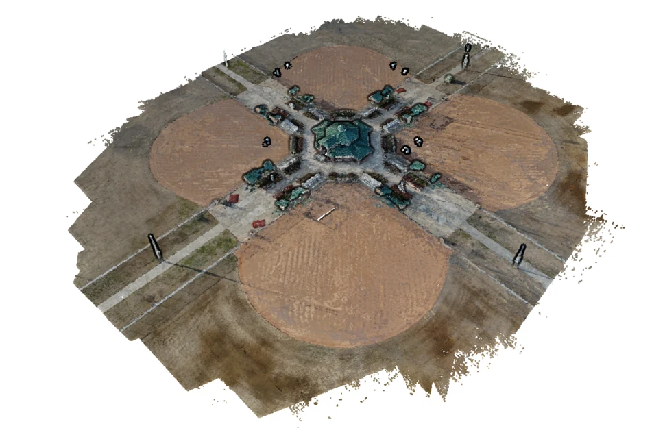
Example aerial photogrammetric reconstruction of a real-world environment
Source imagesCamera data3D geometry

Illustrative reconstruction, not a catalog offer. Available representations vary by scene.

142Published scenes
25,464Source photographs
35Countries represented
472.9 GBRetained file inventory
START WITH YOUR WORKFLOW

Choose what needs to connect.

Search for combinations retained in the same scene version.

File-presence filters are not certifications of calibration, registration or suitability for a particular model.

INSPECT REAL INVENTORY

The scene is the starting point.

Open the views, inspect the file types and read the capture limitations.

Browse all scenes ↗
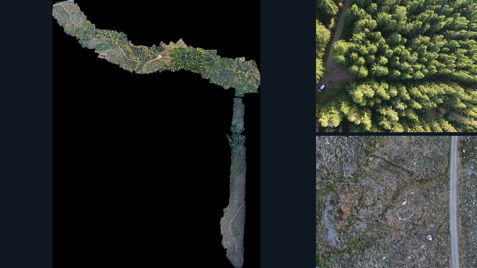
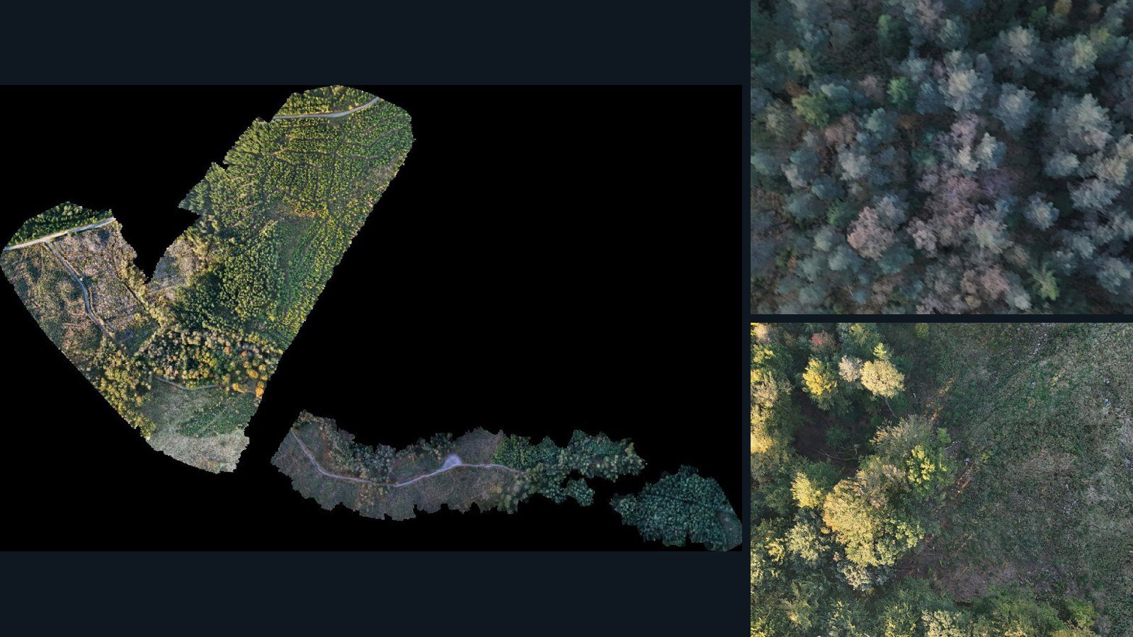
Sweden / Halland County

Halland County drone capture · AD-A650B333

Retained together in this scene: 1,192 source image files, camera-data files, point clouds, orthomosaics.

Images: listed Camera data: listed 3D geometry: listed
6 retained data types12.3 GB Sample available
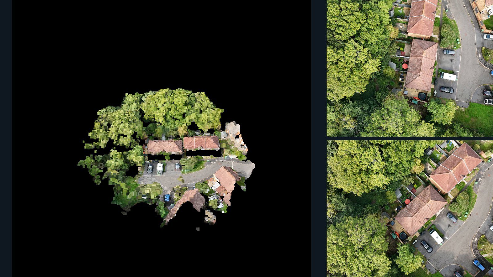
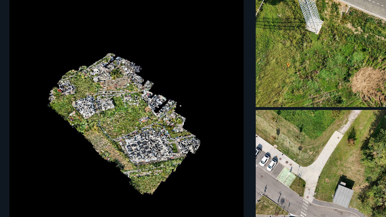
United Kingdom / England

Hastings drone capture · AD-AD47666F

Retained together in this scene: 33 source image files, camera-data files, point clouds, meshes, orthomosaics.

Images: listed Camera data: listed 3D geometry: listed
7 retained data types457.4 MB Sample available
Sweden / Halland County

Halland County drone capture · AD-AA45E5D3

Retained together in this scene: 1,499 source image files, camera-data files, point clouds, orthomosaics.

Images: listed Camera data: listed 3D geometry: listed
6 retained data types20.5 GB Sample available
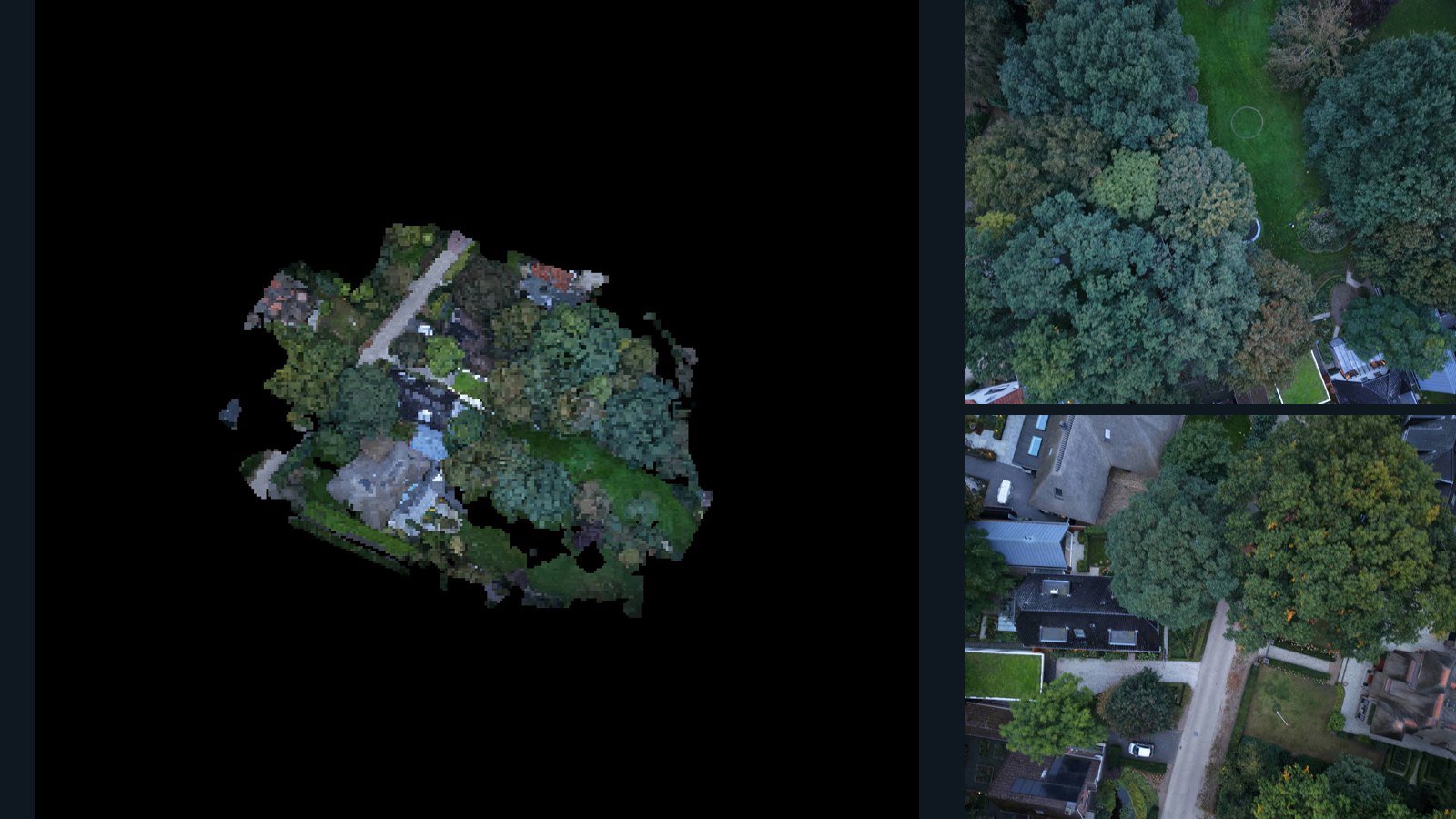
Netherlands / Gelderland

Lunteren drone capture · AD-940ED08D

Retained together in this scene: 25 source image files, camera-data files, point clouds, meshes, orthomosaics.

Images: listed Camera data: listed 3D geometry: listed
7 retained data types395.4 MB Sample available
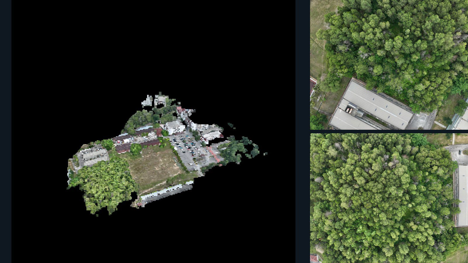
Malaysia / Selangor

Kajang drone capture · AD-F1270367

Retained together in this scene: 67 source image files, camera-data files, point clouds, meshes, orthomosaics.

Images: listed Camera data: listed 3D geometry: listed
7 retained data types921.3 MB Sample available
SELECT ACROSS THE CATALOG

Collections built around the task.

Find connected representations, built environments, infrastructure and natural scenes through explicit inventory requirements.

Explore collections →
WHAT THE DATA ACTUALLY REPRESENTS

Observed images.
Derived spatial structure.

Use both, with the right expectations.

Connected does not mean independently measured.

Photogrammetric point clouds and meshes are reconstructed from imagery. They are not independent survey ground truth. Camera files can contain observations, calibration or reconstructed poses; inspect the actual fields.

Spatial does not mean every environment.

The current catalog is aerially captured scene data. It is not a promise of indoor coverage, robot actions, synchronized trajectories or simulator-ready assets.

How to evaluate a spatial dataset →
BUILD AN INFORMED EVALUATION

Find the right fit for your research.

Spatial AI starts with a scene.

Explore real-world spatial datasets linking source images with retained camera data and reconstructed geometry. Inspect scene inventories and evaluate fit before licensing.

Explore the workflow →

Real places. Multiple views. Reconstructed geometry.

Find real-world 3D scene datasets containing source images and retained point clouds or meshes. Compare capture context, formats and reconstruction limitations.

Explore the workflow →

Find camera data. Verify the poses.

Discover scenes with source images and camera-data files. Check reconstructed poses, intrinsics, image mapping and coordinate conventions before using them as a camera-pose dataset.

Explore the workflow →

Spatial context for world-model research.

Evaluate aerially captured real-world scenes for static spatial research. Inspect images, camera data and geometry, with clear limits on temporal and action-conditioned uses.

Explore the workflow →

Point clouds with their capture context.

Explore real-world photogrammetric point-cloud datasets. Compare retained formats, source imagery, scene metadata and accuracy limitations before licensing.

Explore the workflow →

Evaluate a scene from a new viewpoint.

Find real-world scene candidates for novel-view synthesis. Inspect source views and camera files, plan held-out views and evaluate the coverage of each capture.

Explore the workflow →

Revisit the reconstruction, starting with the images.

Explore photogrammetry scene datasets with source imagery and retained 3D outputs. Compare reconstruction workflows, capture coverage and processing limitations.

Explore the workflow →

Understand the surface behind the elevation grid.

Inspect DSM and DTM scene candidates with orthomosaics. Compare reference systems, grid alignment, visible surfaces and processing-derived elevation limitations.

Explore the workflow →
FROM ONE SCENE TO A COLLECTION

Tell us what your model needs to see.

Share your target environments, required representations, evaluation criteria and intended use. We will work through available scenes, samples and licensing with you.