Start with the part of the problem you need to solve
A world-model project may need appearance, geometry, viewpoint relationships, motion or interaction data. Those are not interchangeable requirements. This catalog is relevant to assessing the static spatial part: source images and retained spatial representations of the same captured place.
The current inventory is aerially captured scene data. It is not presented as action-conditioned trajectories, robot demonstrations, calibrated multisensor video or a synchronized temporal benchmark. Separate captures and file timestamps do not establish a continuous sequence of states and actions.
Inspect coherent representations of one place
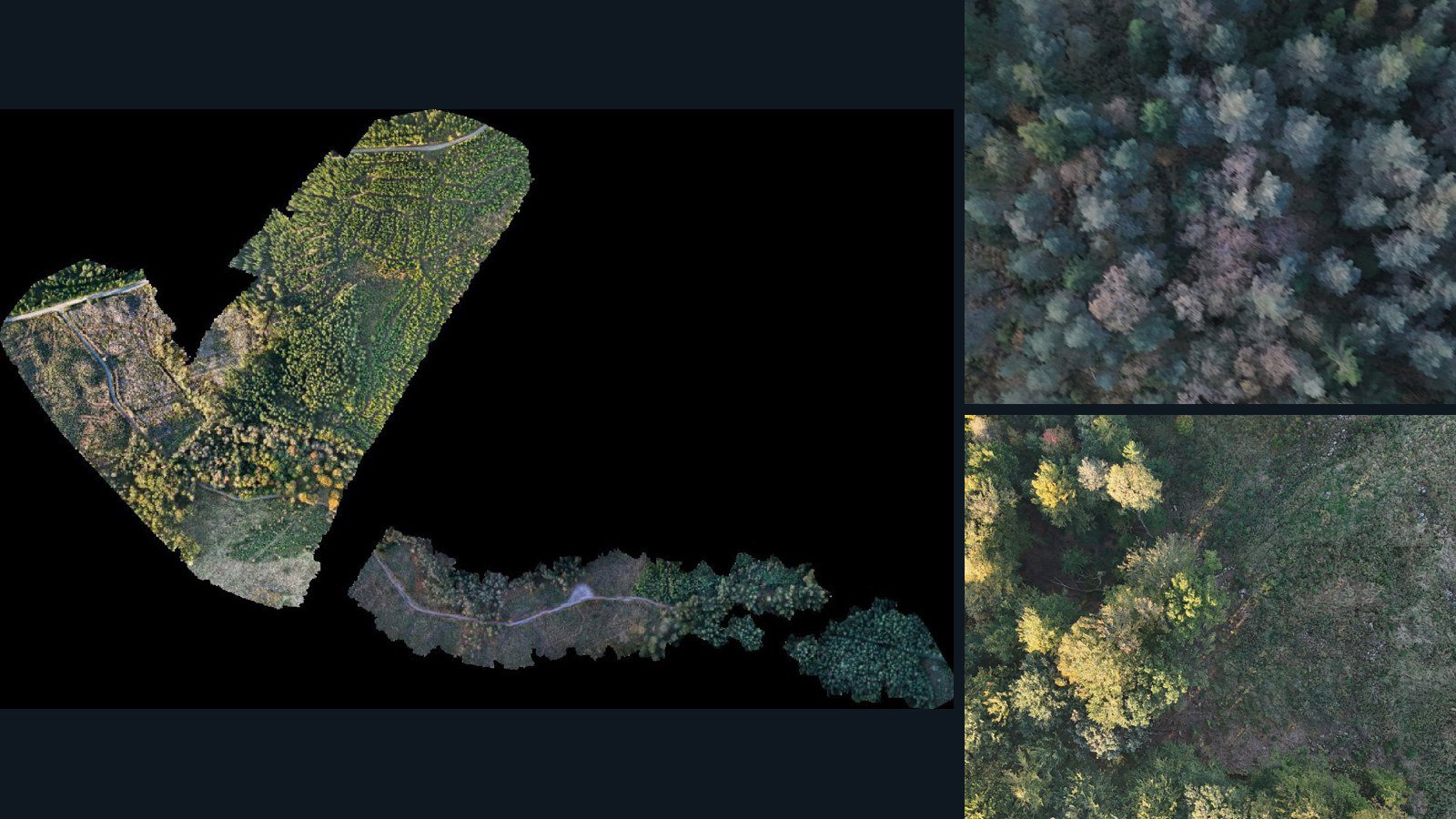
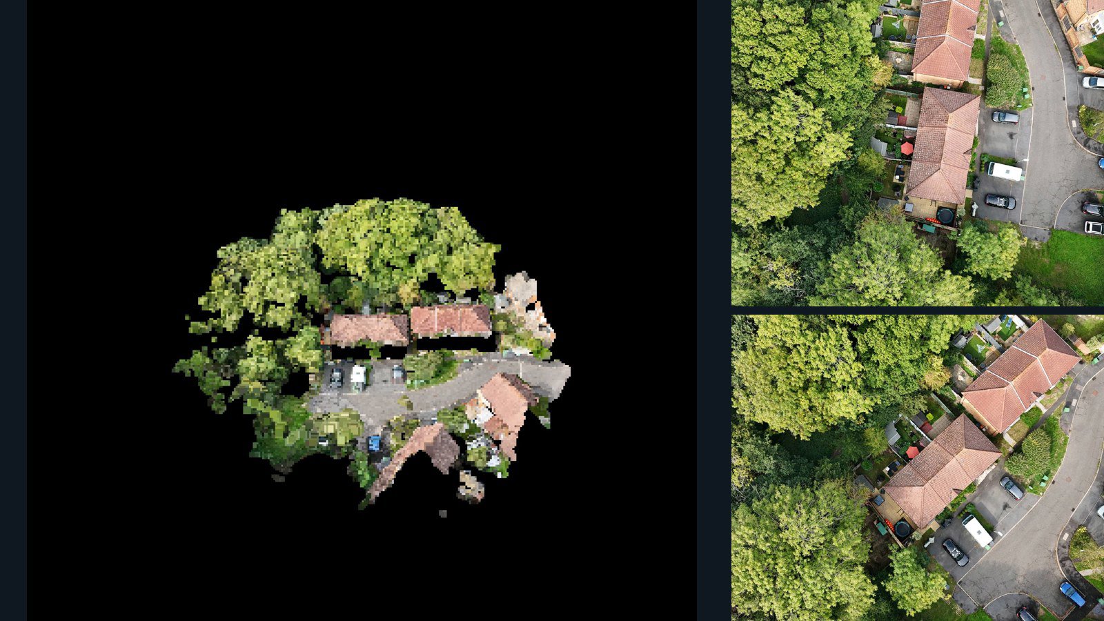
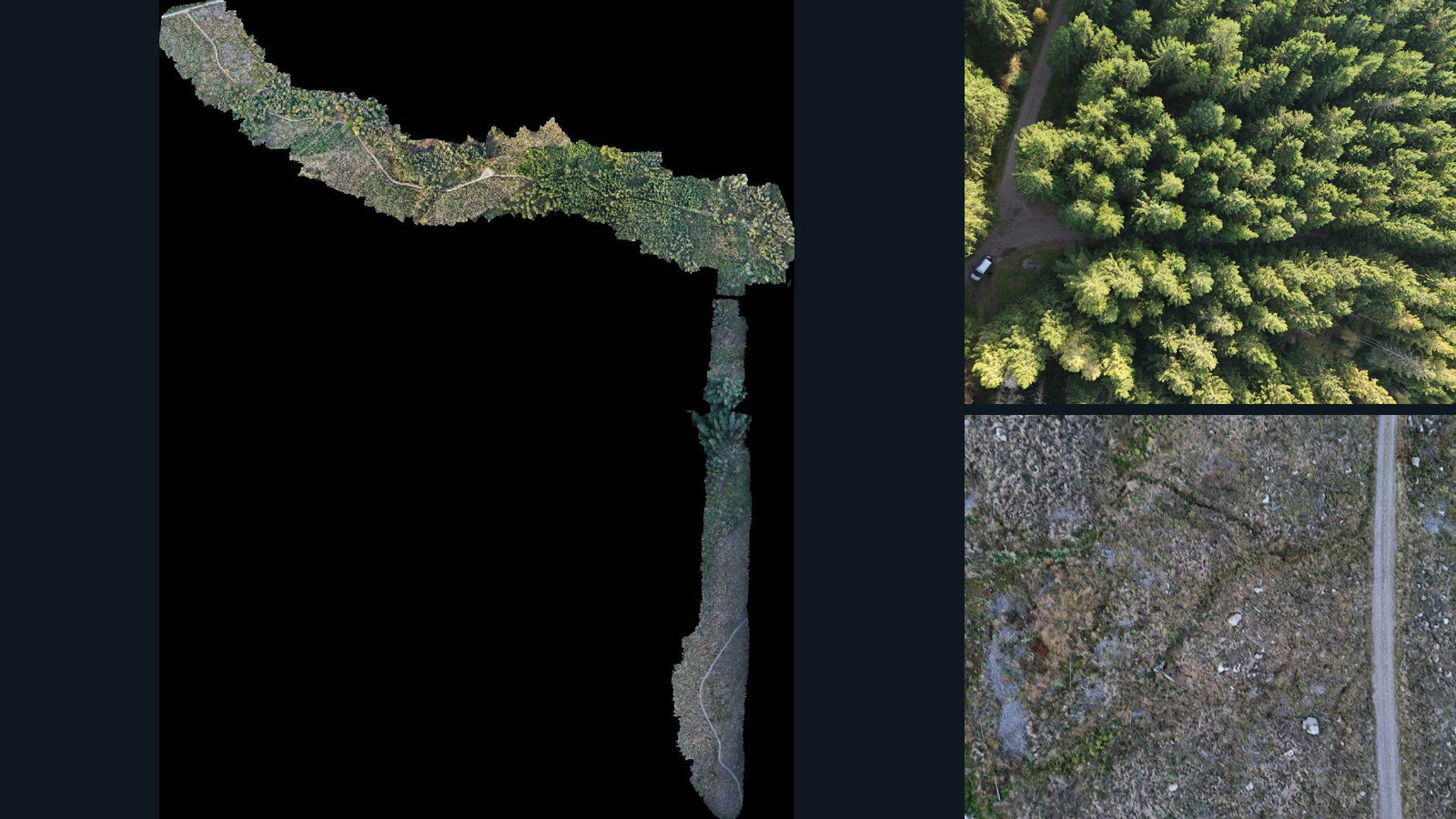
Candidate scenes on this page retain source images, camera-data files and a point cloud or mesh in the same published version. That combination gives you material to inspect for viewpoint-conditioned reconstruction, scene representation or related spatial experiments under an appropriate license.
All three categories are presence-based. You still need to verify image-to-camera mapping, the parameters actually supplied, coordinate conventions and reconstruction completeness. The raw scene files are not automatically normalized to your model architecture, tensor format or training pipeline.
Understand coverage and domain shift
Aerial views emphasize roofs, terrain and outdoor structure. They do not reproduce what a ground robot sees or how an agent interacts with objects. Compare scene scale, camera viewpoints, textures and occlusions with your deployment environment before treating the data as a useful match.
Keep a documented inventory of the environments you select. Plan splits by place and capture, review related scenes for overlap, and distinguish visual diversity from temporal or behavioral diversity. A larger file count alone does not establish broader task coverage.
Design an honest evaluation
Derived geometry may be useful for a research workflow, but it is not an independent reference if it was reconstructed from the same source images. Decide which experiments test internal consistency, which evaluate generalization, and which require separately measured validation data.
Use the contact form to specify the research component you are addressing, required modalities, target environments and intended rights. Samples support internal inspection under their terms. Model training and any production use require the agreed commercial license.