Separate the capture from the reconstruction
A photogrammetry dataset can include source photographs, camera observations, estimated cameras and reconstructed products. Those are different stages of a workflow. Keeping them within one scene makes it easier to investigate how the observations relate to the outputs, but does not make every result independently measured truth.
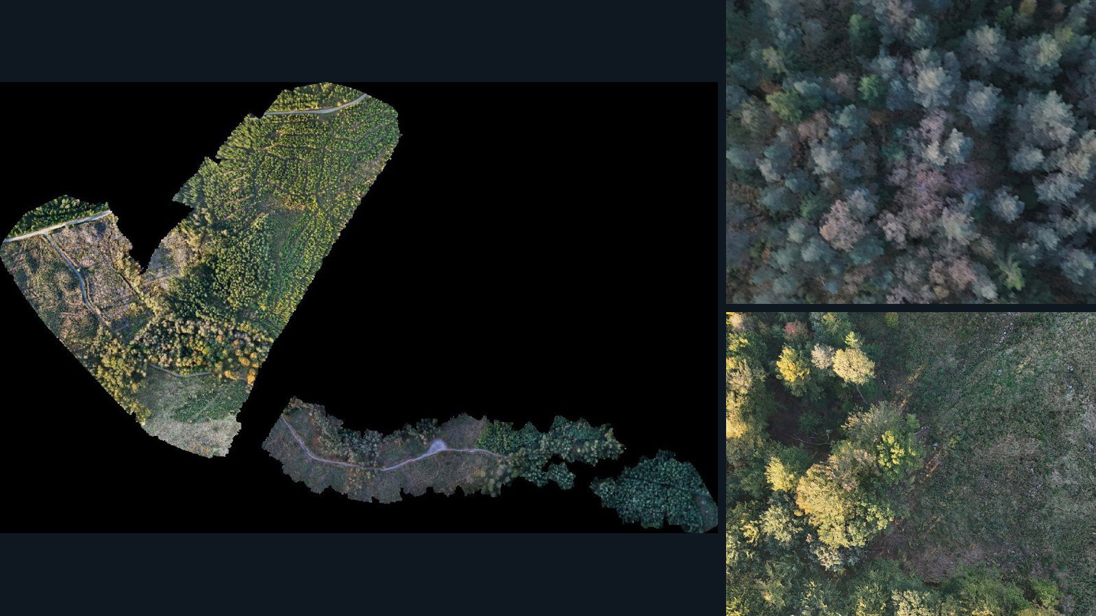
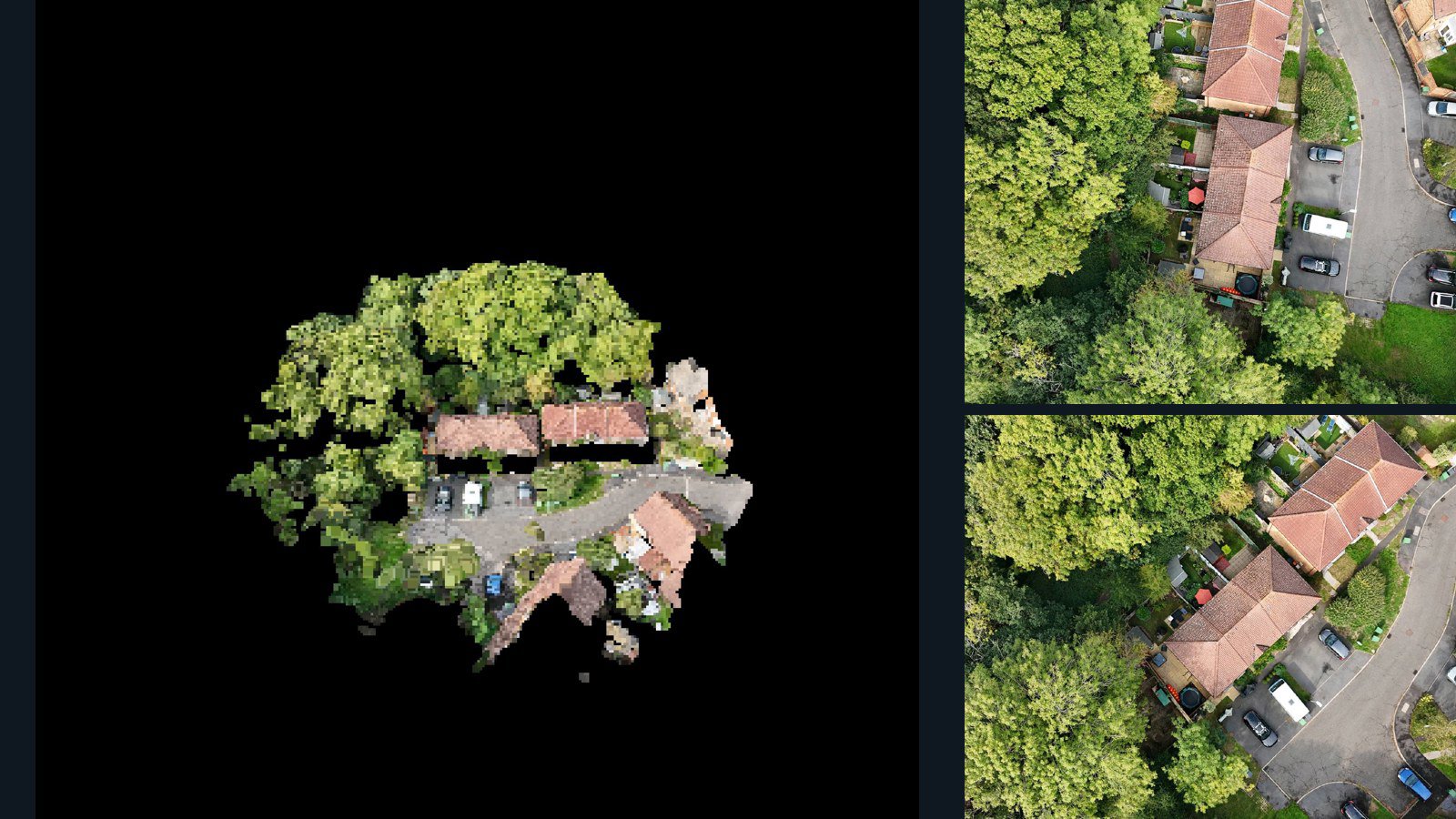
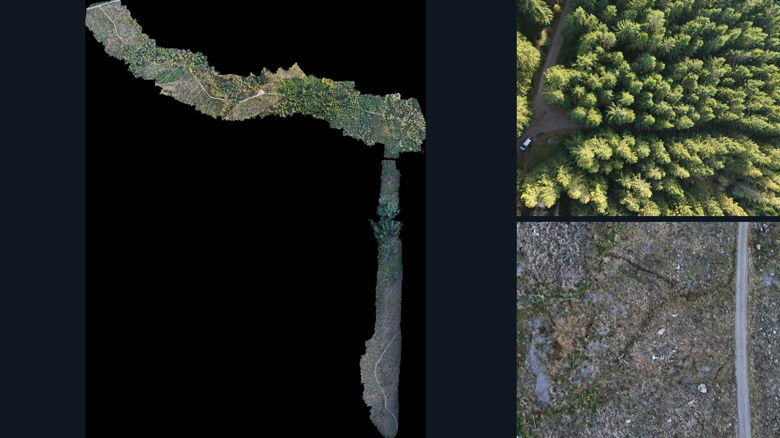
The matching scenes on this page retain images and a point cloud or mesh. They may also retain camera-data files, orthomosaics and elevation products. Check each inventory and its version rather than assuming a standard list of outputs across the catalog.
Choose input coverage that answers your question
Before comparing methods, inspect overlap, view angles, sharpness, scene scale and surfaces that were not observed. Missing viewpoints constrain what can be reconstructed. A larger photo count is not automatically better coverage, particularly when many images see the same surface from similar angles.
Read processing and accuracy notes alongside the files. Capture observations, reconstruction coordinates and geospatial alignment can be different sources of information. Ground-control observations, calibration targets and independent checkpoints are additional evidence, not guaranteed components of an aerial capture.
Make reconstruction comparisons reproducible
Record the exact source-image set, any image preprocessing, estimated or supplied camera parameters, output coordinates and reconstruction settings. Keep scene versions in the experiment manifest so a later catalog update is not silently treated as the same input corpus.
The retained point cloud or mesh can be a reference output for a processing comparison. It is not an independent ground-truth surface when estimated from those same images. Decide which measurements test consistency or completeness and which require separate survey evidence.
Select across environments, then agree the license scope
Built environments, infrastructure, terrain and vegetation present different visual and geometric challenges. Use the collections to shortlist those environments, then inspect actual capture coverage and available samples. Keep related sites out of opposing evaluation splits.
For a commercial agreement, specify source images, required reconstruction products, camera fields, environment coverage and allowed downstream uses. Some experiments require full original imagery; a small evaluation sample may only establish file compatibility and approximate scene quality.