Photogrammetry is not LiDAR
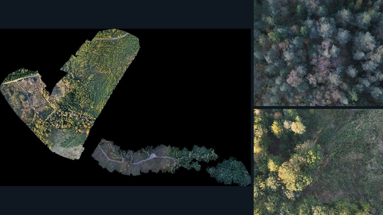
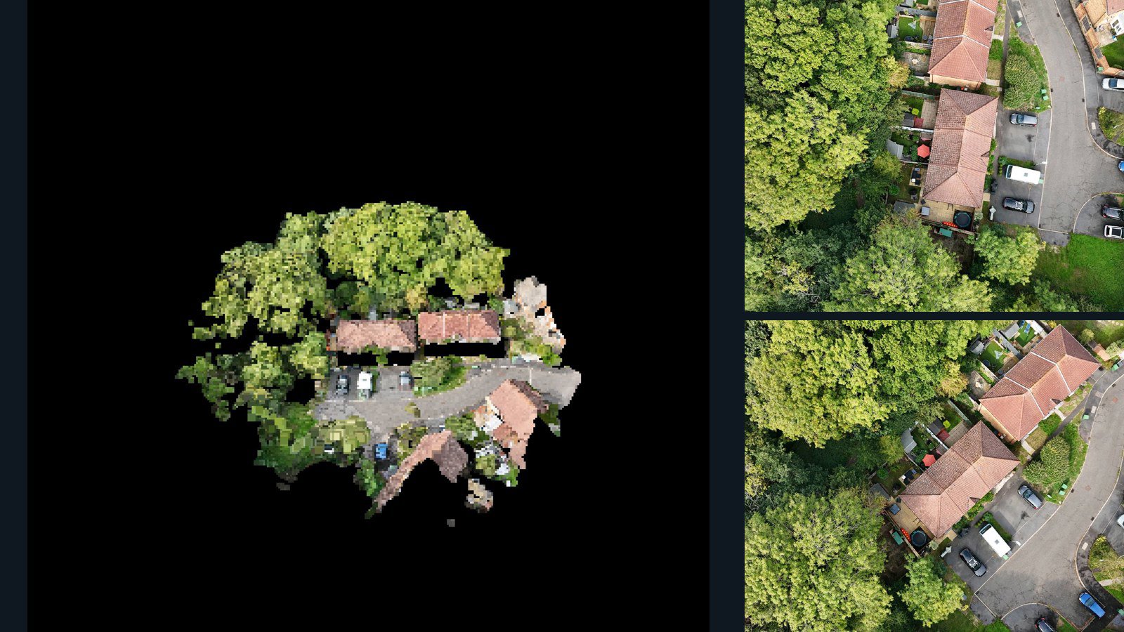
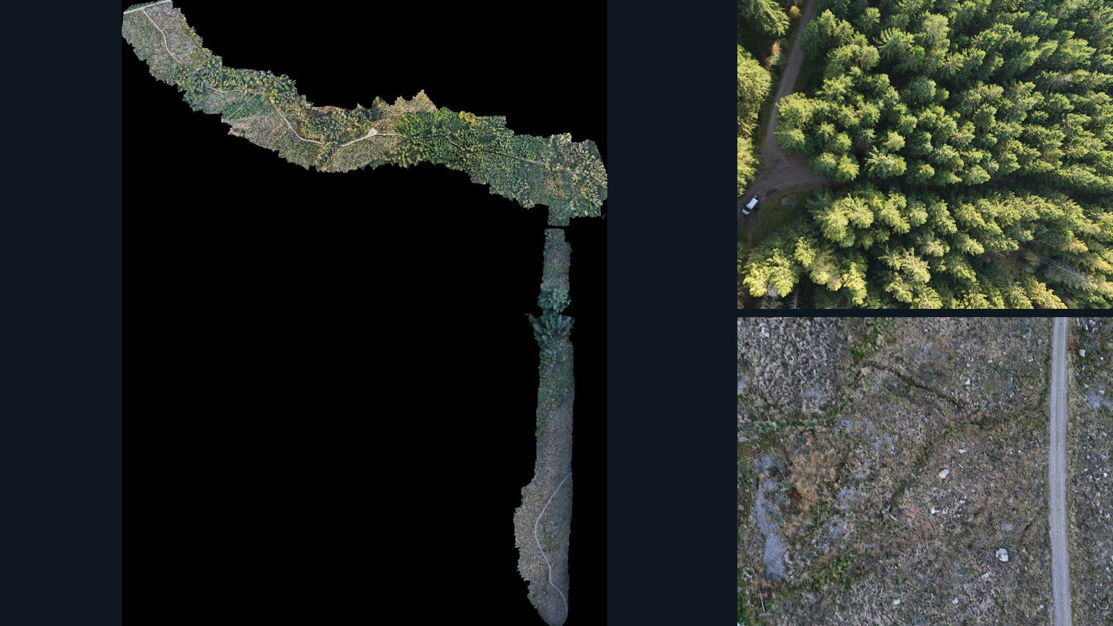
The point clouds in this aerial scene catalog are photogrammetric reconstruction products. They should not be described as direct laser measurements, independent survey ground truth or classified LiDAR simply because the files use a familiar point-cloud format.
Read the scene-specific processing notes and inspect the retained files. A container format alone does not guarantee color, intensity, semantic classes, normals, a particular coordinate reference system or a specified accuracy. Additional attributes must be verified from the actual data.
Compare files in context
The point-cloud filter selects scenes with at least one retained current-version point-cloud asset. Scene cards and detail pages show other available representations, which may include source images, camera-data files, meshes, orthomosaics and elevation products. No additional type is implied when it is absent from the listed inventory.
Use the source images to interpret incomplete surfaces, repeated textures and vegetation artifacts. Where other spatial products are retained, compare their frame, scale and extent before treating them as aligned representations suitable for a shared processing pipeline.
Prepare for your own point-cloud workflow
Check the coordinate system, bounds, units and attributes with the tools you plan to use. Confirm how files are partitioned and whether a bundle duplicates individually listed products. Byte totals measure retained inventory, not unique area or a guaranteed number of usable points.
For learning workflows, decide how to crop, sample, normalize and partition the data. Labels, object instances and ground classifications are not promised by the existence of a point cloud. Request annotation or attribute requirements explicitly rather than assuming they are part of every scene.
Evaluate quality and rights separately
AerialAlign enhancement is disclosed where applicable, but an alignment estimate is not an independent checkpoint survey. Retain the capture and accuracy notes with your evaluation so that downstream users understand the limitations of the reconstructed geometry.
Inspect an evaluation sample where available, or explain the attributes and scene coverage you need in an inquiry. A written agreement defines the licensed versions and allowed uses. Public previews, metadata and sample availability are not a blanket license for model training or redistribution.