
The relationships matter
as much as the files.
SpatialDataset organizes discovery around a research question: what observations and spatial representations are available together for this environment?
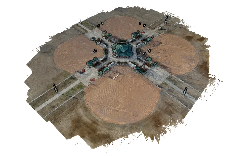
Illustrative reconstruction, not a catalog listing.
One catalog. Two ways to explore it.
SpatialDataset is the scene-focused storefront for the AerialDataset catalog, operated by Avenian LLC. AerialDataset emphasizes aerial captures and geospatial products. SpatialDataset emphasizes how retained images, camera data and geometry can be evaluated together for spatial research.
Both storefronts use the same records, dataset references, versions and licensing service. They are not two independent collections. Your existing customer account and assigned dataset grants remain valid, although each domain requires its own sign-in.
Start with what is actually retained.
The current inventory is aerially captured. Each scene lists its real file types, capture information and limitations. Camera data does not automatically mean calibrated poses; reconstructed geometry is not independently surveyed ground truth.
Keep the evidence with the scene.
We reuse the catalog’s existing publication checks for source permission, archive completeness, rights review and public location disclosure. This storefront does not expand a dataset’s rights or reveal additional contributor information.
Explore the scene catalog →