A scene is more than a model file
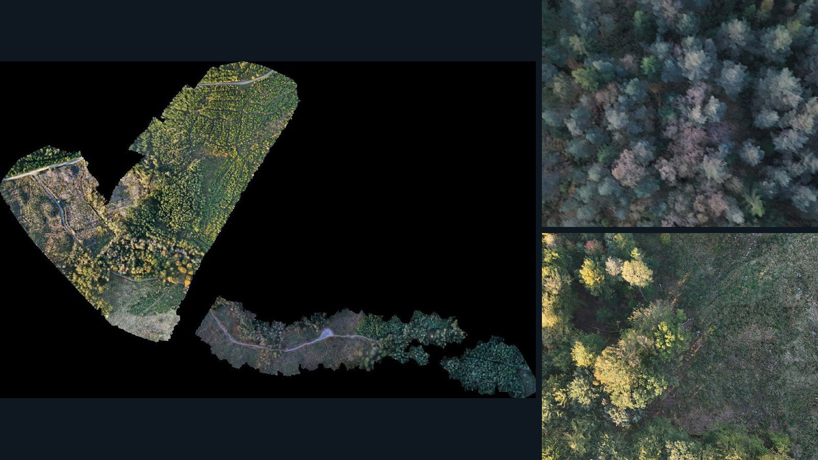
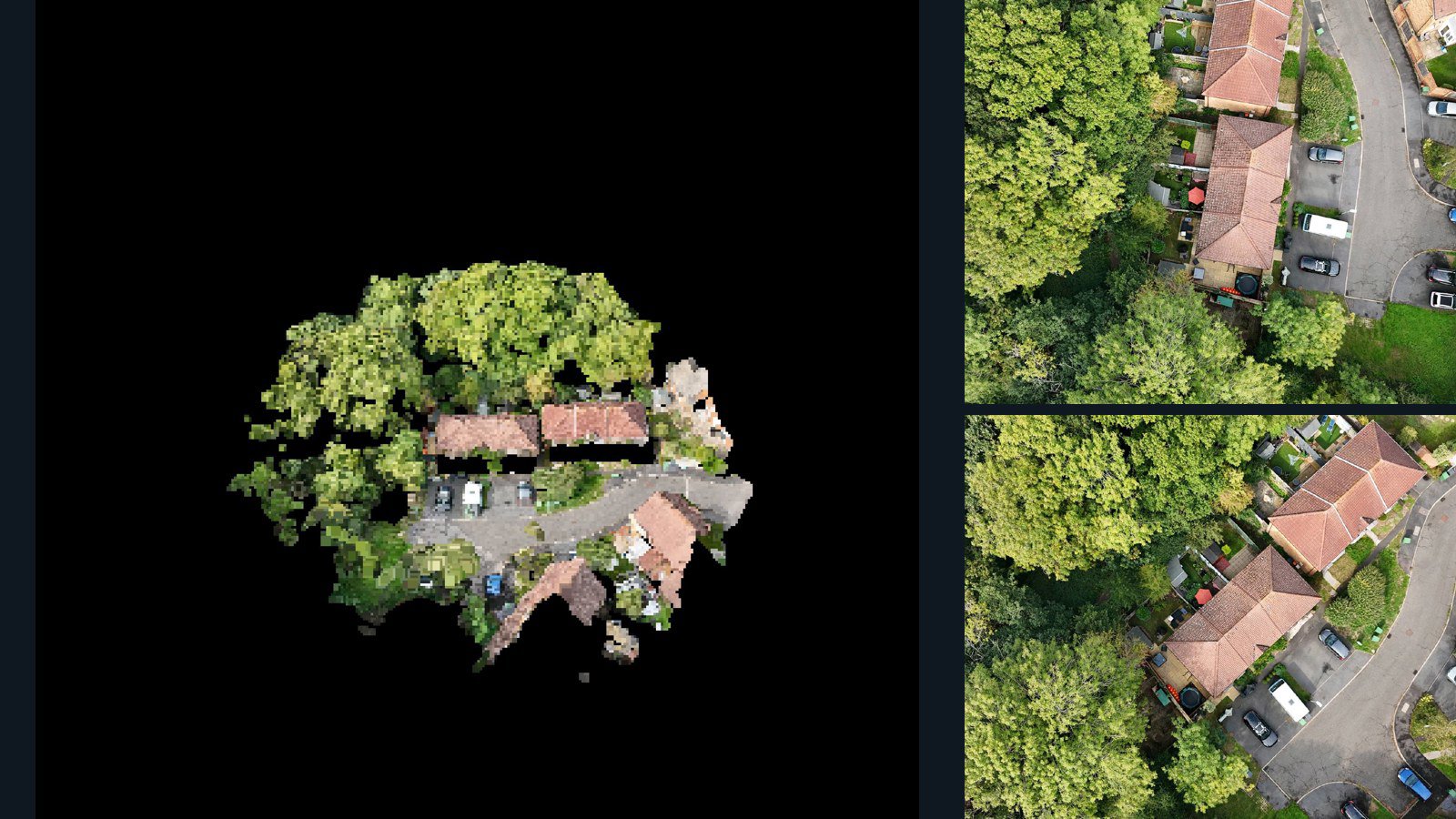
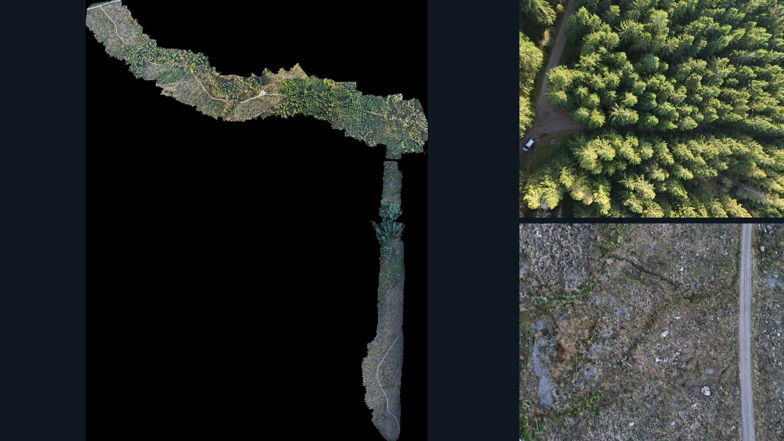
A standalone mesh describes one representation of an environment. A scene dataset can also preserve the original photographs, camera-related files, orthomosaic and elevation products from the same capture. Those additional observations help you investigate how the model was reconstructed and whether it is useful for your own workflow.
The current collection contains aerial captures. Outdoor buildings, terrain and other environments must be assessed from the views actually present. A drone reconstruction should not be assumed to include building interiors, hidden surfaces, complete street-level detail or a watertight volume.
Choose by the reconstruction you need
The images-plus-geometry filter requires current-version source photographs and at least one retained point-cloud or mesh asset. A scene with only an orthomosaic does not satisfy that filter. File formats, counts and sizes remain visible on the scene page, so you can distinguish the available products before requesting access.
For novel-view or pose-conditioned work, add camera-data files to your search and inspect their contents. Camera file presence alone does not prove that every image has usable extrinsics and intrinsics. The reconstruction workflow, coordinate conventions and image associations need to be checked together.
Plan your own preprocessing
Inspect the imagery for overlap, exposure changes, motion blur and repeated textures. Inspect reconstructed surfaces for gaps, vegetation artifacts and missing viewpoints. Where a mesh includes textures, verify material references and the files needed to resolve them. Review the scene-specific quality notes instead of treating an export format as a quality grade.
This catalog does not promise prebuilt Gaussian splats, NeRF checkpoints, collision geometry or simulator imports. Source imagery and retained reconstruction files may be useful inputs to those workflows, but conversion, training and validation are separate work under the appropriate license.
Evaluate without confusing input and reference
A point cloud and mesh generated from the same photographs are related derived products. They can support consistency checks and workflow comparison, but they should not be presented as independent survey ground truth. Report that dependency when designing a benchmark.
Request the exact versions, formats and rights needed for your project. Evaluation samples are intended for internal inspection under the sample terms; a separate commercial agreement defines training, production and redistribution permissions.